Biking Le P’tit Train du Nord, Quebec 2015
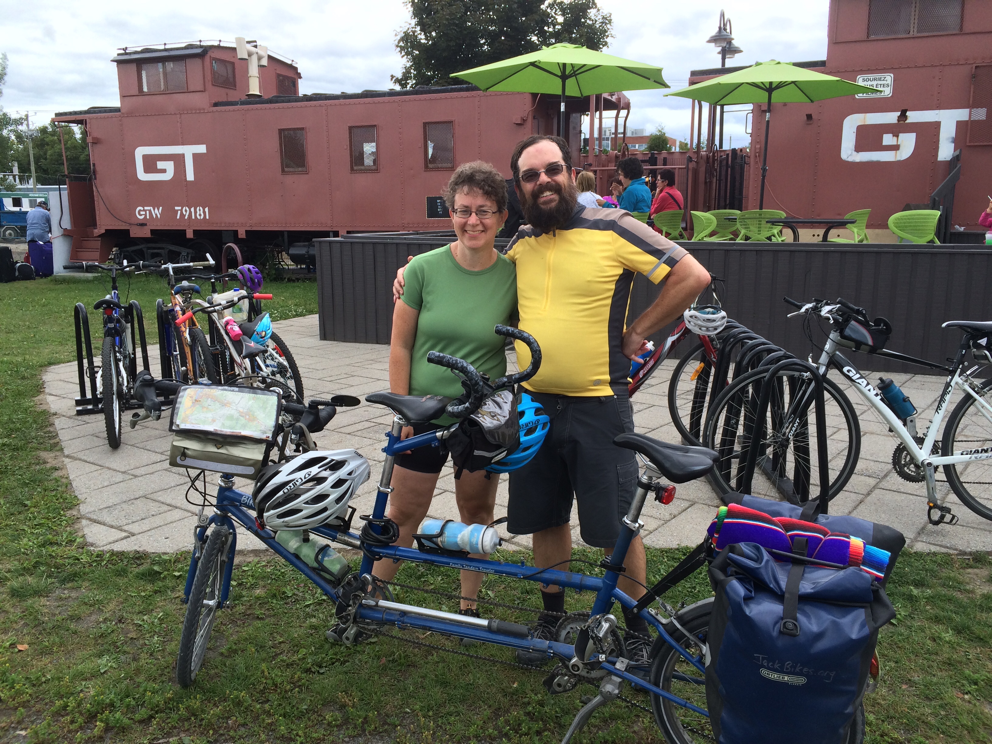
To celebrate our 27th anniversary, Beth and I biked along Le P’tit Train du Nord (The Little Train of the North) rail trail, which stretches about 200 kilometers (124 miles) from Mont-Laurier to Saint Jerome in the northwest region of Montreal, Quebec. We highly recommend this wonderful trail for couples and families who are looking for beginner-to-intermediate rides of 50-80 km (30-50 miles) per day on asphalt and packed stone trails, with bed and breakfasts (or rustic camping) along the way. Learn about our three-day adventure below and read more about this trail on Wikipedia and the official tourism site. View the full-screen map and our photo album.
The day before our bike trip, we drove to Saint Jerome, a suburb to the north of Montreal, where we parked our van at the 0 km mark and boarded the Autobus shuttle to Mont-Laurier, a town at the opposite end of the trail on the 200km mark. Max and his co-workers kindly loaded and secured our tandem bike to the trailer of their shuttle. Finding our way to the Autobus parking lot in St. Jerome was challenging for us because we could not rely on Google Maps, as we chose not to pay extra international data roaming fees to our smartphone carrier. But Beth navigated “old-school” using paper maps she found in our 1998 minivan, and we also downloaded the Open Street Map for Quebec using the inexpensive Maps.me smartphone app, which we highly recommend.
On Day 1 of our bike trip, we pedaled 55 km (34 miles) from our Mont-Laurier hotel to Nominingue, which led us up a gradual incline through the most rural portion of the trip. This section of the rail trail was paved asphalt and in good condition, with warning signs for bumps or holes. About every 10km along this section of trail were wooden “caboose” shelters and picnic tables, with water faucets less frequently, though we were glad to have brought our own lunch food from the IGA grocery store in Mont-Laurier. We met several friendly riders on the trail this day. Nearly all were Canadian, and most spoke French as their first language. In Nominingue, we arrived at the Auberge Chez Ignance, where Beth had booked us a room at this bed and breakfast, which also fed us an amazing gourmet dinner. Honestly, it was one of the best meals I’ve ever eaten, with amazing variety (meat, poultry, fish, and vegetarian options) and outstanding flavors. Beth, my French translator and cultural guide, taught me a new phrase—–tourisme gastronomique–—or traveling primarily to explore new foods.
On Day 2, we rode 63 km (39 miles) from Nominingue to the Mont-Tremblant region, and we stopped for the night at another bed and breakfast in the small town of Saint Jovite. The portion of the trail was relatively flat and shifted from asphalt to packed stone, which also was in good condition (with fewer bumps and holes than the asphalt section). Several of the old train stations here had been renovated into cafes and museums, and our lunch stop at La Belle was one of our favorites. Since Mont-Tremblant is home to a national park and center for tourism, we encountered many more cyclists here, and were pleased to see so many senior citizens and families with young children riding the trail.

Based on where we stayed the previous two nights, we had a long third day (82 km, or 51 miles) to finish our journey back to Saint Jerome. To start off the morning, we rode uphill for about 10 km, pedaled along the summit, then glided downhill to the end. Overall, the packed stone dust trail was in good shape, but watch out for some weather-related deterioration near the end, where it turned into sand. Although we rode through a not-so-attractive quarry and lumber mill at the summit, biking through the forest and along the waterfalls during the rest of the day was beautiful.


