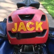
Street Mapping Advocacy with GoPro Cameras and Mapillary
Thanks to support from two mini-grants, I’ve been working with local cycling organizations in Boston, Hartford, and Indianapolis on a project we call “Street Mapping Advocacy.” We train volunteer cyclists to wear 360° GoPro video cameras and ride around and collect street-view imagery to use in two ways. First, you can edit and create short videos to highlight point-of-view storytelling for safer streets. Second, the same GPS-synced video can be uploaded to the open-source Mapillary platform, which extracts data about street infrastructure that researchers can analyze to help improve safety advocacy in your local community.
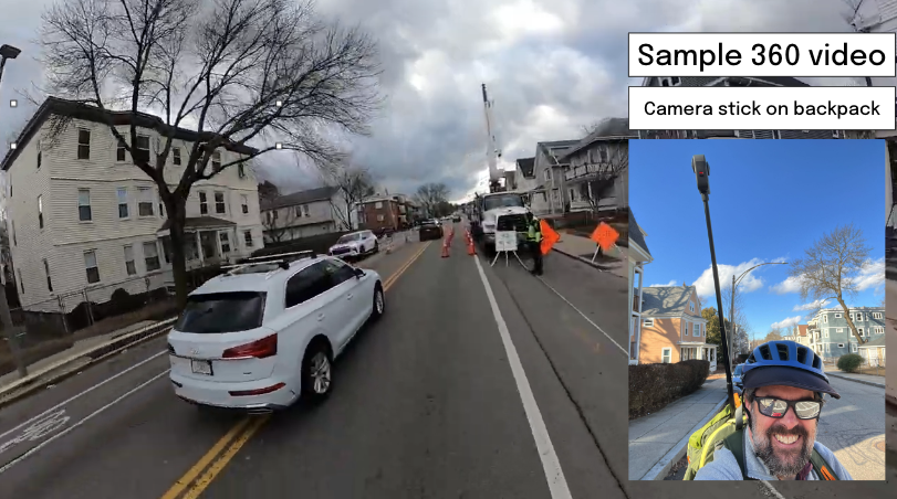
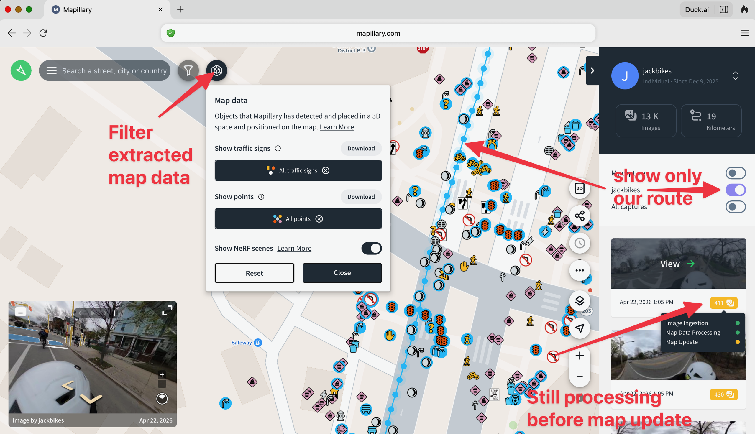
Thank you to my long-time collaborator Ilya Ilyankou, PhD student at the SpaceTimeLab at University College London, and principal investigator Prof. James Haworth, who secured a UCL Global Engagement mini-grant to provide GoPro cameras and workshop support for my work with three US organizations: Bikes Not Bombs (in Boston), Bike West Hartford, and Central Indiana Cycling.
Also, thank you to Semir Kahrimanovic and the Mapillary Camera Grant Program 3.0, who provided a GoPro Max2 camera bundle to support my work with the Boston Cyclists Union. Specifically, BCU Labs will use the camera and Mapillary to improve the quality of OpenStreetMap data that drives many of our digital tools for safer streets advocacy.
Below are two free educational guides I created to help cyclists record street-view video on GoPro cameras and upload it to the Mapillary platform.
Download the INTRO Guide to GoPro Max 360 Camera and Upload to Mapillary as shown in the public Google Doc below
Download the ADVANCED Guide to GoPro Max Bike Mapping and Video Export as shown in the public Google Doc below
TO COME: 360 video playback, editing, and export to regular video formats!