Biking from Portland OR to Walla Walla WA, May 2019
Follow my bike tour and bakery hunt from Portland, Oregon to Walla Walla, Washington from May 21-24th, 2019. Click items in the map to view details, or view the full-screen map and photo album. See also my daily journal entries below the map.
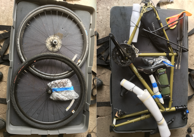
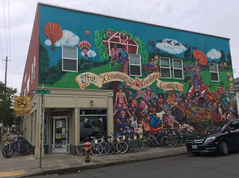
Monday May 20th: Arrived in Portland Oregon. In the past I’ve flown with a Bike Friday, a small-wheeled touring bike that fits inside a regular suitcase. But for this trip I decided to ride my regular-sized REI ADV 3.1 touring bike, so needed a different transportation solution, and settled on shipping it via BikeFlights, which charged me $115 to pick up and ship via ground to Portland. Joe Dickerson at BiCi Co, Hartford’s community bike shop, lent me a bike box and gave me advice on how to pack everything up. More than a week ahead of time, I phoned the Community Cycling Center on Alberta Street in Portland. They agreed to receive my bike box and re-assemble it for me for $50, which was very reasonable. Today I strolled around the Alberta Street neighborhood (a very cool place), picked up my bike, and wheeled it down the street to a nearby AirBnB I rented for the night.
Tues May 21st: Biking Day 1
Rode from Portland to Cascade Locks, Oregon (51 miles, 2000 feet of elevation gain). Since I’m not in prime condition (see above: bakeries), I wanted to make sure my first day would not be too strenuous. Also, I decided to stay in motels rather than camp out on this trip, so needed to chunk out my mileage and overnight accommodations in advance. My first destination was Cascade Locks, a beautiful ride from Portland. I followed the Lewis & Clark bike route from Adventure Cycling, which led me on some wonderful trails and roads:
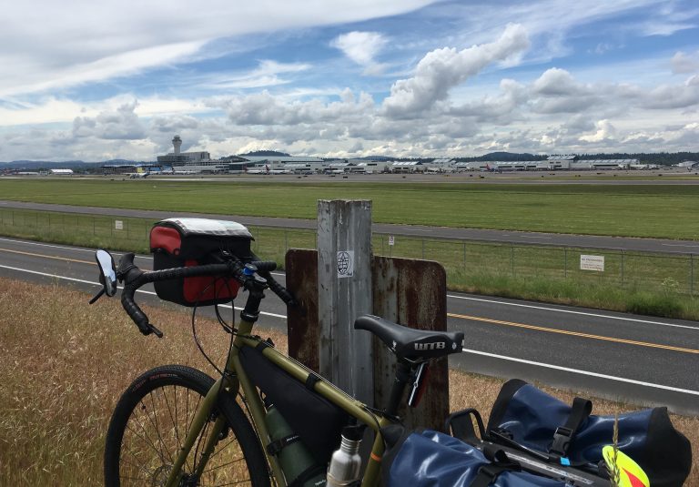
Marine Drive Trail, which runs between the Columbia River and Portland’s Airport (so I got to watch planes take off and see boat yards and boat houses), almost to Troutdale. Mostly bike path, but occasional sections are on a bike lane on a highway, through some busy intersections. The BikePortland.org blog is a good way to keep up on improvements to this great resource.
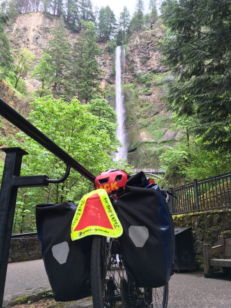
Historic Columbia River Highway from Troutdale to around Ainsworth State Park. Open to cyclists and cars (and I made sure to ride on a weekday before Memorial Day, to avoid traffic.) If you don’t mind some climbing, this route has some real gems: beautiful views of the Columbia River gorge at Chanticleer Point and Vista House, then a swift descent to numerous waterfalls, including the big one, Multnomah Falls. Several years ago, my partner Beth and our daughters and I drove along this highway, and it was even better visiting the second time on a bicycle.
Historic Columbia River Highway State Trail from around Ainsworth State Park to Cascade Locks. The similar yet different names are confusing to me, but as far as I can tell, the “State Trail” portion refers to a former highway that has been rebuilt for bike and pedestrian use only. Today’s section was virtually complete and fabulous to ride, since the sights are even more enjoyable without having to worry about cars. (Also was fascinated by the visible remnants of the 2017 forest fires mixed with new growth.) But tomorrow I’ll be traveling between unfinished sections, which means some less-than-ideal highway biking. Stay tuned.
Wed May 22: Biking Day 2
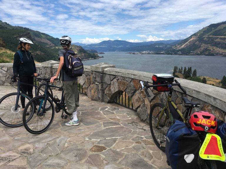
Rode from Cascade Locks to Biggs Junction, OR (69 miles, about 2500 feet of elevation gain). The good news is that Oregon continues to improve its Historic Columbia River Highway State Trail, and has completed an absolutely gorgeous car-free 5-mile segment from Hood River (the Hatfield West Trailhead) to Mosier (the Hatfield East Trailhead). This segment is relatively flat but sits about 500 feet atop the Columbia River, and the lookouts are spectacular. Met several other bicyclists who were also were enjoying this path today.
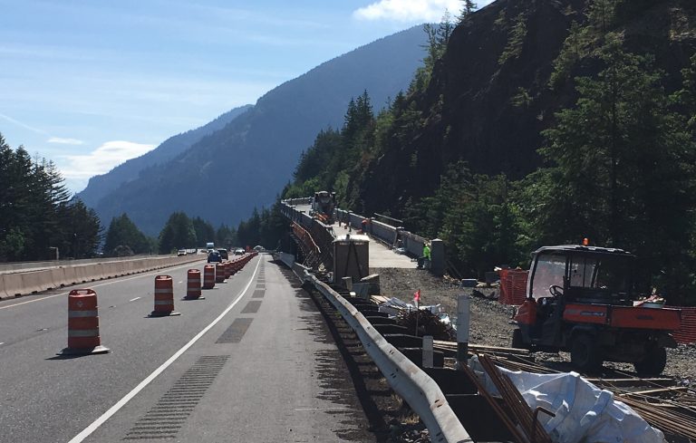
The bad news is that the Oregon Dept of Transportation is still working to connect different segments of the State Trail. In the meantime, cyclists following the Oregon side of the Lewis & Clark trail by Adventure Cycling are directed to ride on two 10-mile segments of Interstate 84. This is the first time I’ve ridden on the shoulder of a US interstate highway, and it wasn’t as bad as I had feared. For the first couple of miles, the right lane was closed to cars (since they’re constructing the State Trail alongside it), and I had a long row of orange cones between me and highway traffic. After the construction zone, those cones went away, but most of the time there was a generous 6-foot shoulder. Kind of surprised how my average speed on I-84 crept up to 18 mph, probably due to a combination of a generous tailwind, smooth road surface, and an adrenaline rush to get off the damn highway as quickly as possible. Still, while trucks zipping by at 70 mph does not bother me, I fully understand that most people do NOT enjoy riding on an interstate highway. While we wait for the Oregon DOT to connect more segments of the State Trail, consider these alternatives. First, the Adventure Cycling Lewis & Clark trail offers a Washington State option (though it involves State Highway 14, which also has some traffic, and fewer services than the Oregon side, in my view). Second, see how this cyclist arranged for the Columbia Area Transit Dial-A-Ride service on the Oregon side, between Cascade Locks and Hood River.
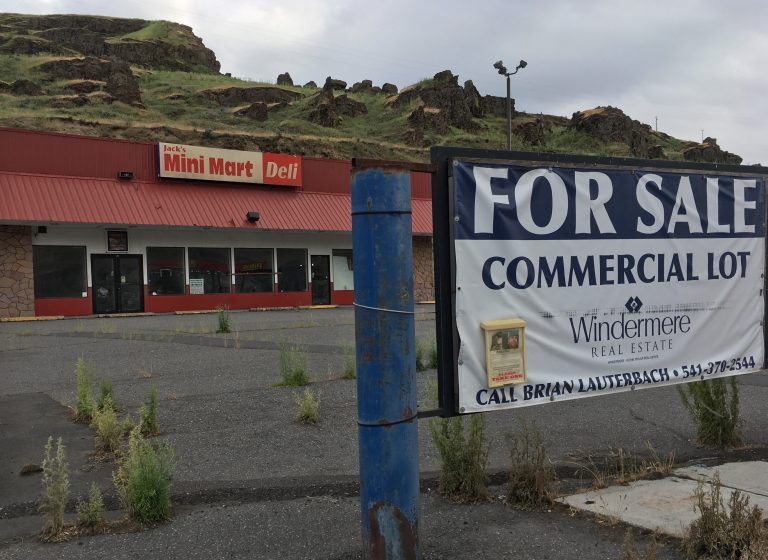
Sidenote: In previous comments on this post, some disgruntled readers (“Steve” aka my neighbor Bill, and my cycling/blogging friend Sylvia) who have pointed out that my journey has not yet included any bakeries. Rest assured, the hunt continues. But since leaving Portland two days ago, my journey has taken me into rural Oregon, and it’s not like they have drive-by bakeries at every exit on I-84! For example, tonight I’m in Biggs Junction, a truck stop town with a population of 22. Jack’s Mini Mart closed and is up for sale. Tomorrow will be a long ride through an even more rural stretch. Stay tuned for future bakery updates.
Thu May 23: Day 3
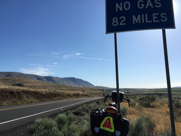
Rode from Biggs Junction, OR, across the river on Washington State Route 14, then back across to the river at Umatilla OR (87 miles, about 2000 feet elevation gain). That was a long day! Heading into this trip, I knew that this would include an 83-mile stretch with very limited services, so I brought extra water and food with me, but was thrilled to find two small country stores (in Roosevelt and Paterson), where I bought extra beverages.
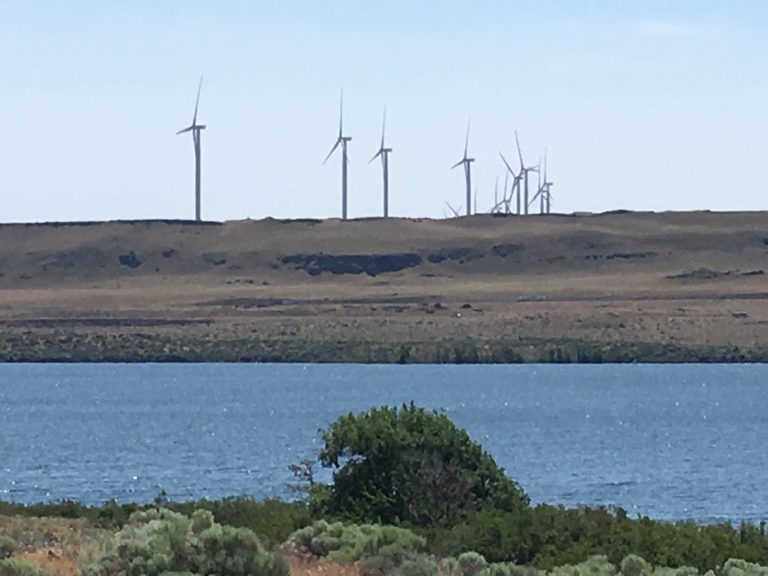
Started the morning climbing a big hill on the north side of the Columbia River, with hundreds of windmills pointing at me (meaning the wind was at my back). But somewhere past Roosevelt, those windmills turned against me. Absolutely treasonous, some presidents might say. So a 10-15 mph headwind, combined with 85 degree temperatures, made the second half of my day stretch into a well into what felt like a third half, maybe a fourth. The good news, I suppose, was the light traffic: about one car every two minutes or so. Not surprisingly, I did not see any other cyclists today.

People ask me what I think about on my long rides, and to be honest, not much for the first 6 hours or so. But after about 7 hours in the saddle, I start singing along with Norah Jones and whatever else is playing on my handlebar-mounted iPhone. It’s not a pretty sight, and sounds even worse. More than 8 hours into a ride and I start talking to myself, then hootin’ and hollering, announcing every twist and turn in the road like a sports announcer, because it means I’m getting closer to the finish line. If they ever send astronauts on that long journey to Mars, don’t get stuck in the same capsule as me.
Sidenote: Somehow I timed this trip to coincide with a major update by the Flickr photo service (which they haven’t done in nearly a decade, as far as I can see). As of Friday May 24th AM, I’m still having problems uploading photos and making them appear as thumbnail photos on my map. So just use your imagination…
Fri May 24: Day 4
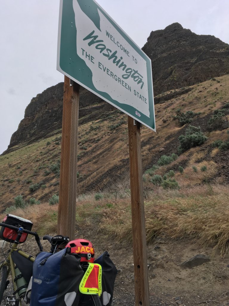
Rode from Umatilla, OR to Walla Walla, WA (59 miles, about 1,000 feet of elevation gain). Zoomed through this last stretch of the trip with a 15-20 mph tailwind. My odometer/speedometer battery failed the other day, so not sure of my average speed, but it definitely felt as fast as the wind. Biked alongside long stretches of Columbia River and rocks, and then the water went one way I ended up following just the rocks. For a few miles up tight against the canyon walls, the shoulder of State Route 730 was just a foot or two wide, with an occasional large rock sitting in the middle, and the trucking traffic was heavy before Memorial Day Weekend. Made me think fondly of my experience biking on I-84 the other day.
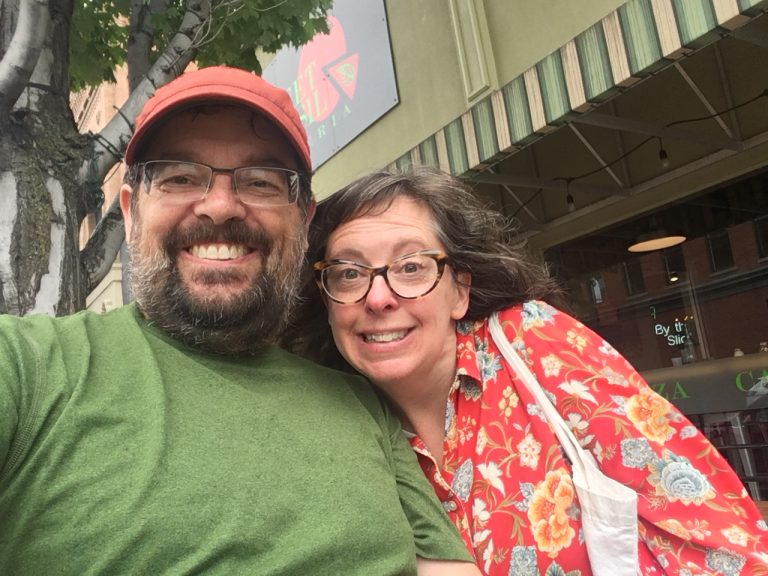
Rolled into Walla Walla ahead of schedule, and very happy to see my sister Ellen and her husband Rob greeting me in front of Sweet Basil Pizzeria. Ellen persuaded me to try three different slices—Pesto, Potato Gorgonzola, and Cheese—with a draft root beer to top it off! (Close-up photos of my meal are available upon request.) A promise is made to visit at least one bakery very soon.
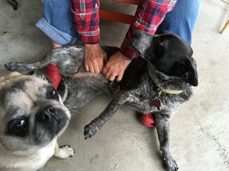
As I sit here on their front porch in Walla Walla and finish this blog post, an unfamiliar feeling comes back to me. There are no urgent work deadlines. There is no upcoming bike trip to prepare for. There are no hills to climb. I’m just sitting here, scratching the dogs’ heads, watching their garden grow, and taking some time to relax…
